
By Trond Husby – Netherlands Environmental Assessment Agency (PBL)
There is a heated discussion in Dutch media and policy about the need to construct new dwellings. A vital point of this discussion is where to locate this new residential construction. Some suggest looking to the past, to the last large-scale spatial planning programme in the Netherlands, the VINEX, to learn from previous experiences. In cooperation with Utrecht University, the Netherlands Environmental Assessment Agency (PBL) is researching the long-term effects of the VINEX policy on the housing- and labour market.
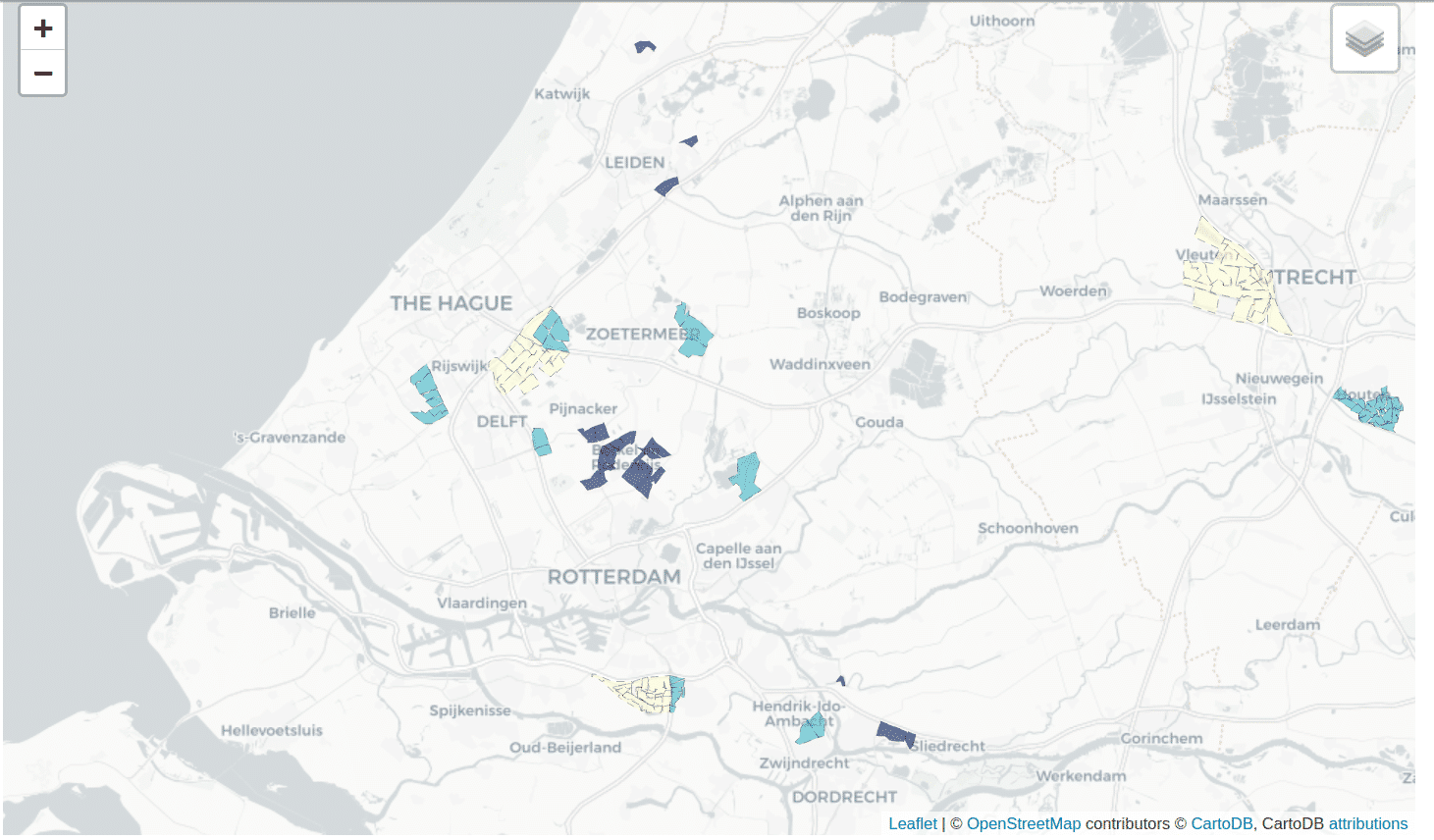
VINEX locations were a result of the Fourth Memorandum on Extra Spatial Planning (VINEX), a policy trajectory that ran from the late 1980s. The VINEX policy was a bundling policy – the central concept is the ‘compact city’ – that had to provide for the growing spatial needs of the population in terms of housing, employment and facilities. VINEX locations included infill, brownfield, as well as greenfield developments. Now that the implementation of VINEX is finished, several studies have been published in which the effects of the policy were evaluated.
The goal of this project is to analyse the long-term effects of the VINEX using a quasi-experimental research design, to investigate whether moving to a VINEX location had a discernible impact on an individual’s labour- or housing-market position. Leveraging the rich microdata from CBS, the researchers construct a longitudinal data set, consisting of a large number of variables concerning individual level demographic characteristics, as well as yearly information about household-, labour- and housing market situations.
In order to construct the basis data set, we have used the ODISSEI Secure Supercomputer (OSSC) twice; once during the fall of 2019 and another time in late 2020. Using the OSSC allowed for the performance of certain computational tasks at scale, distributing jobs over all available computing resources.
Relevant links
Image: PBL. Leaflet | © OpenStreetMap contributors © CartoDB